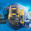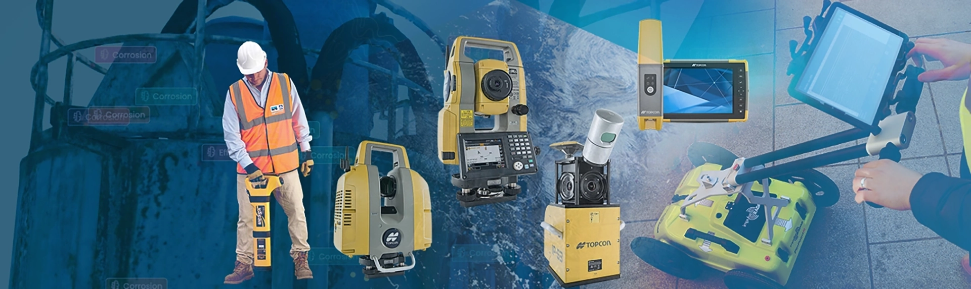
We provide a comprehensive range of high-quality geospatial solutions tailored for construction, surveying, and infrastructure monitoring. Our product lineup includes advanced Topcon instruments for construction layout, machine control, and laser scanners for precision surveying. We also offer Vivax Metrotech utility locators and PinPointR ground-penetrating radar (GPR) systems from Impulse Radar, ideal for accurate utility detection.
Wide range of precision measuring tools, including tripods, digital levels, and measuring wheels, designed for construction and surveying professionals seeking accuracy.
We operate an authorized Service Center in Dubai & Abu Dhabi staffed by qualified service engineers trained by TOPCON. We provide professional servicing and calibration for all major brands in the surveying industry.
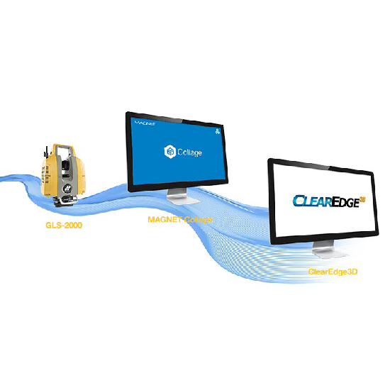
Enhancing our geospatial offerings, we provide Twinsity’s Ai powerful visual intelligence platform, designed with exclusive technology for infrastructure monitoring and damage analysis. This software allows professionals to inspect and manage complex assets using photorealistic 3D models and AI-driven insights—from bridges and towers to energy grids and industrial site mapping.
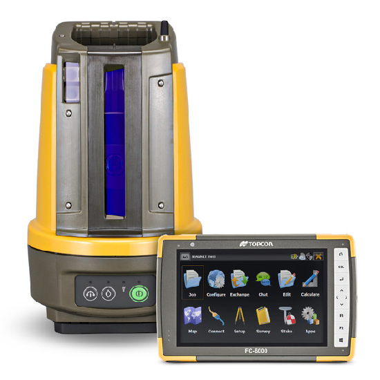
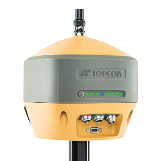
Total Station, GNSS & Versatile receiver, 3D layout navigator, machine control, 3D laser scanner, auto-level and 3D clear edge software.
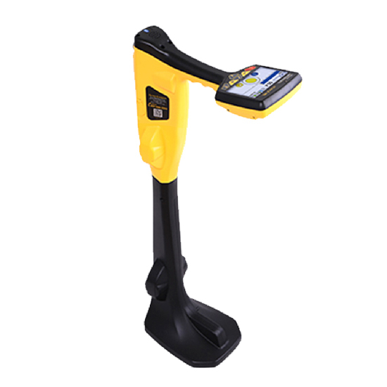
Reliable avoidance tools for detecting underground utilities, ensuring safe and efficient excavation on any site.
Advanced ground penetrating radar for precise, non-invasive underground utility detection and subsurface imaging.
Nedo offers precision measuring tools, including telescopic sticks, digital devices, and measuring wheels for professionals.
AI-powered 3D visual inspection software for accurate infrastructure monitoring and damage analysis.